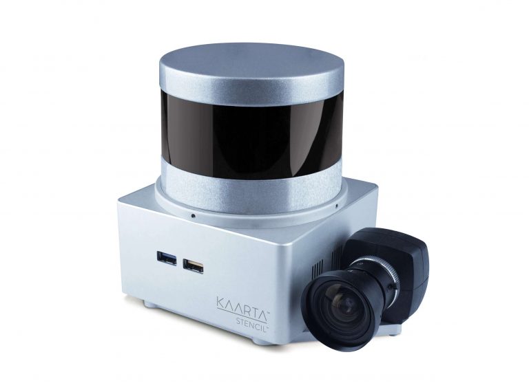
Stencil® is a stand-alone, light weight, and low-cost system unleashing the integrated power of mapping and real-time position estimation for infrastructure inspectors, security personnel, architects, farmers, or anyone who needs an easy way to document the 3D world quickly and dependably.
Technology
Kaarta™ algorithms have been integrated with 3D Lidar and IMU to provide 6 DOF State information at 200 Hz for those automating robots as well as generating maps in realtime.
Break from GPS
Scanning beneath tree canopies, inside buildings, or in areas where GPS is obscured? No problem. Stencil doesn’t need GPS for fast, accurate, and low-cost 3D real-time simultaneous localization and mapping.