Kaarta Contour™ enables 3D modeling from input to output in real time, condensing the workflow process by eliminating time and cost, and allowing decision-making at the point of work.
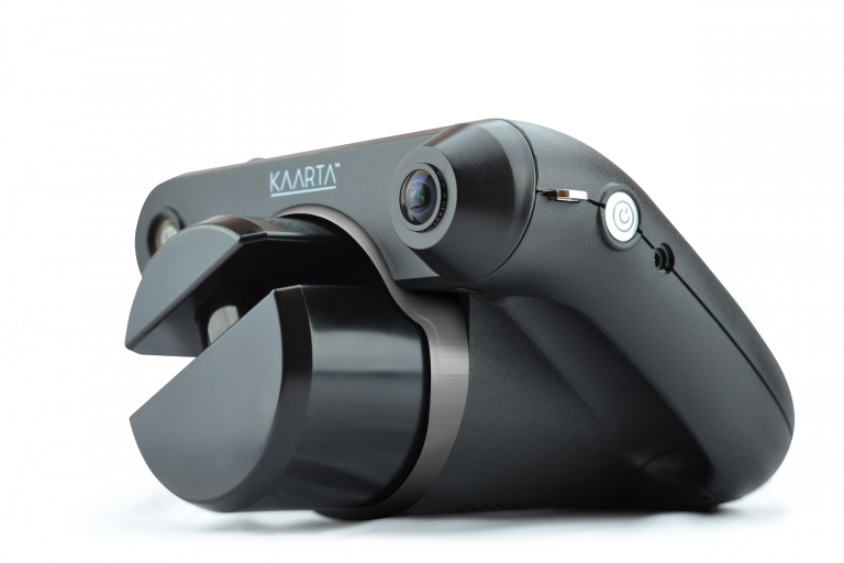
Lightweight and battery powered, Contour is hand carried through an environment as it scans to generate a 3D map without additional infrastructure. A typical 10,000 sq m (110,000 sq ft) space can be scanned in about 2.5 hours.
The onboard touchscreen enhances Contour’s ease and usability. The screen displays the model as it’s being built in real time, allowing the user to improve results during mapping and even control the display to provide immediate knowledge of the environment. Users are able to pause, rewind, and resume during scanning.
Kaarta Engine, Kaarta’s patent-pending advanced 3D mapping and localization algorithms, is at the heart of Contour, providing highly accurate and robust maps.
Contour is ideal for scanning as-built multi-room interiors, multi-floor plans, buildings, industrial plants and infrastructure and more for both planning and maintenance purposes.